EVACUATION ORDERS CURRENTLY IN PLACE - HAWKESBURY
AGNES BANKS
Parts of Agnes Banks to evacuate the following area by 11:00 pm Wednesday, 2 March 2022:
All properties in low lying parts of Agnes Banks along Springwood Road from the Yarramundi Bridge to Price Lane, and including Price Lane.
BLIGH PARK & SOUTH WINDSOR
North of Bligh Park to evacuate the following area by 11:00 pm Wednesday, 2 March 2022:
Properties between Bligh Park and South Windsor along Berger Road and Fairey Road between the Sewerage Treatment plant at the southern end and Penruddock Street at the northern end.
Residents and businesses within South Windsor Sewage Treatment Plant to evacuate the following area by 11:00pm Wednesday, 2 March 2022 :
Properties on Fairey Road near the South Windsor Sewerage Treatment Plant.
CATTAI
Parts of Cattai to evacuate the following area by 11:00 pm Wednesday, 2 March 2022:
All properties in the following streets in Cattai:
177 O’Briens Road
161 O’Briens Road
87 to 97 Cheesmans Road
70 Cheesmans Road
All residents in Riverside Caravan Park in Cattai
Parts of Cattai to evacuate the following area by 9am Thursday 3 March:
All properties in the western part of Cattai along Threkheld Drive
EBENEZER & SACKVILLE
Parts of Ebenezer to evacuate the following area by 11:00 pm Wednesday, 2 March 2022:
All properties along Hendrens Road and 114-136 and 113-161 Ebenezers Wharf Road.
Parts of Sackville to evacuate the following area by 11:00 pm Wednesday, 2 March 2022:
All properties in the following streets in Sackville: 562 to 624B and 555 to 715 Tizzana Road
Parts of Sackville North to evacuate the following areas by 11:00 pm Wednesday, 2 March 2022:
All properties on following roads in Sackville North:
331 to 257 Mud Hill Road
118 to 238 and 115 to 257 Pages Wharf Road
FREEMANS REACH
Residents and businesses within Low lying part of Freemans Reach to evacuate the following area by 11:00 pm Wednesday, 2 March 2022 :
Properties in the lower part of Freemans Reach along Freemans Reach Road from Wilberforce Road to Hibberts Lane, along Hibberts Lane Freemans Reach Road to the first bend northwards, along the lower part of Argyle Reach Road
Properties in the southern part of Wilberforce along Wilberforce Road from Windsor Bridge to Buttsworth Creek
LEETS VALE
Parts of Leets Vale to evacuate the following area by 11:00 pm Wednesday, 2 March 2022 :
Properties along River Road from Douglas Creek in the part of Leets Vale on the southern side of the Hawkesbury River.
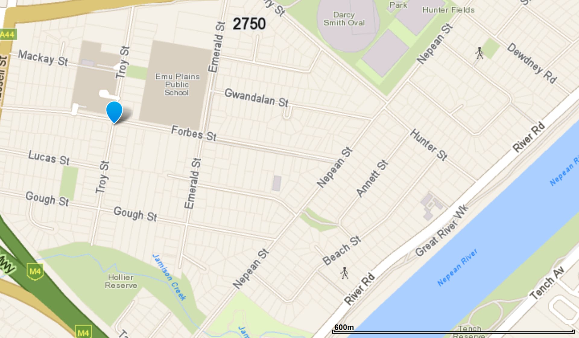
NORTH RICHMOND
Parts of North Richmond to evacuate the following 9am Thursday 3 March:
All properties in: Patya Place, North Richmond. 38 to 54A and 53-59 Keda Crescent, North Richmond.
The Red Bank Dam 14 is at Red Alert & Red Bank Dam 13 is at Amber Alert. NSW SES has directed people within North Richmond to evacuate the high danger area:
• Southern Cross Drive
• Spitfire Way
• Grainger Place
• Bradley Road
• Tyne Crescent
• Campbell Street
• Yvonne Place
• Michael Street north west of Gregory Street
• Northern side of Gregory Street
• Stephen Street north west of Arnold Street
• Pecks Road between Mokari Street and Bradley Road
• Elizabeth Street north west of Campbell Street
• Trent Place
• William Street north west of Charles Street
PITT TOWN
Residents and businesses within Pitt Town Bottoms to evacuate the following area by 11:00 pm Wednesday, 2 March 2022 :
All properties in the Pitt Town Bottoms suburb along Pitt Town Bottoms Road.
Residents and businesses within Parts of Pitt Town (around Percy’s Place Caravan Park) to evacuate the following area by 11:00 pm Wednesday, 2 March 2022 :
Properties along Hall Street and Paul Street, including Percy’s Place Caravan Park in the northern tip of Pitt Town.
Parts of Pitt Town to evacuate the following area by 11:00 pm Wednesday, 2 March 2022 :
All properties in the southern end of Pitt Town along Pitt Town Road between Mackenzies Creek and Schofield Road.
RICHMOND LOWLANDS & CORNWALLIS
Residents and businesses within Cornwallis and eastern part of Richmond Lowlands to evacuate the following area by 11:00 pm Wednesday, 2 March 2022 :
On the Hawkesbury River that is bounded by Kurrajong Road, the back of Francis Street, the back of Dight Street, Percival Street and Rickabys Creek. Includes Bensons Lane; Cornwallis Road; Cornwells Lane; Cupritts Lane; Gow Lane; Ingolds Lane; Old Kurrajong Road; Onus Lane; Percival Street; Powells Lane; Ridges Lane; and Triangle Lane.
Residents and businesses within Western part of Richmond Lowlands to evacuate the following area by 11:00 pm Wednesday, 2 March 2022 :
All properties along Edward Road, Powells Lane and Ridges Lane.
SOUTH MAROOTA
Parts of South Maroota to evacuate the following area by 9am Thursday 3 March:
All properties in the following streets in South Maroota: 274 Pacific Park Road All dwellings on Devin Grove within Pacific Park Water Ski Gardens
WILBERFORCE, GRONOS POINT & EBENEZER
Residents and businesses within Gronos Point to evacuate the following area by 11:00 pm Wednesday, 2 March 2022 :
Properties in the Gronos Point area including properties along Gronos Farm Road and Manns Road.
Parts of Ebenezer to evacuate the following area by 11:00 pm Wednesday, 2 March 2022 :
All properties in the following streets in Ebenezer:
2 and 47 to 59 Port Erringhi Road
Eastern end of Sirius Crescent
22 to 32 Shallow Reach Place
WINDSOR
Northern part of Windsor to evacuate the following area by 11:00 pm Wednesday, 2 March 2022 :
All properties bounded by The Hawkesbury River, South Creek and Palmer Street.
Parts of Windsor to evacuate the following area by 9am Thursday 3 March:
All properties within the area bounded by Palmer Street, South Creek, Suffolk Street, New Street and The Terrace along the Hawkesbury River.
VINEYARD, MULGRAVE & OAKVILLE AREA
Eastern parts of Vineyard to evacuate the following area by 9am Thursday 3 March:
All properties along Latona Avenue, Old Hawkesbury Road, Chapman Road (from Killarney Chain of Ponds to Windsor Road), 417 to 633 Windsor Road.
Parts of Mulgrave to evacuate the following area by 9am Thursday 3 March:
All properties within the area of all properties between South Creek, west of the Windsor Road, the railway line and to the north of Park Rd.
Parts of Oakville to evacuate the following area by 11:00 pm Wednesday, 2 March 2022 :
Properties in 37-63 and 30-52 Saunders Road, Oakville.
YARRAMUNDI
NSW SES is directing residents and businesses within Northern part of Yarramundi to evacuate the following area by 9am Thursday 3 March:
Area bounded by the Grose River, Hawkesbury River and Mahons Creek, including properties along Springwood Road, River Road and Mountain Avenue.
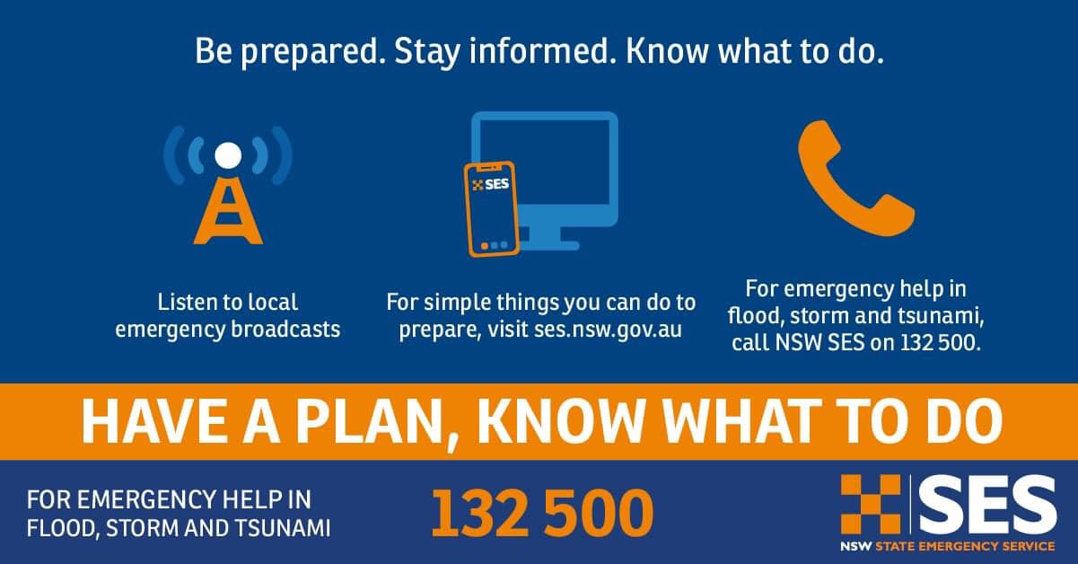
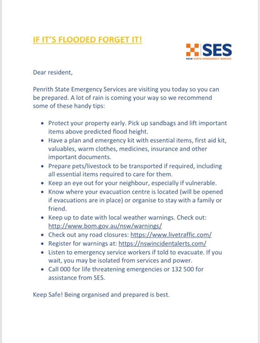
Source SES Hawkesbury Unit